Studios
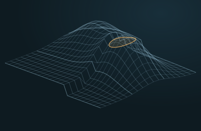
From seismic volume to a structural model that holds together
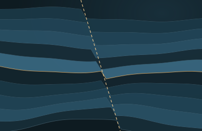
Interpreted horizons and faults become a consistent 3D structural model, checked against geological rules and well markers.
Read the caseGeoDeep Studios
Studios bring professional applications for geophysics, geology, reservoir engineering, drilling and production onto one shared data model, so a change made in one place is visible everywhere it matters.
From planning the survey to running a digital twin of the field.
Survey Design
Acquisition geometry, fold, offset and azimuth coverage, with cost and time estimates.
Field QC
Acquisition QC in real time, sensor status and GNSS coordinate checks.
Seismic Processing Studio
Noise and multiple attenuation, statics, deconvolution, stacking and migration.
Velocity and Imaging
Velocity picking, tomography, FWI, RTM and depth imaging.
Interpretation Studio
Horizons, faults, salt bodies, channels and geobodies in 2D and 3D.
Attribute Engine
Classic, structural, stratigraphic and prestack attributes in a visual node builder.
AVO, AVA and Inversion
Elastic properties, impedance and lithology from seismic.
4D Seismic
Reservoir changes over time, measured from repeated surveys.
Well Data Management
LAS, DLIS, checkshots, VSP and markers, with automatic log QC.
Petrophysics Studio
Shale volume, porosity, saturation, permeability and net pay.
Well Correlation
Multiwell correlation panels, markers and synthetic seismograms.
Rock Physics
Links between rock, fluid and seismic response, including fluid substitution.
Structural Modeling
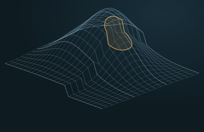
3D structural models from horizons and faults, checked by a geological rules engine.
Facies Modeling
Facies and property distribution with kriging and stochastic simulation.
Geomechanics
Pore pressure, fracture gradient, safe mud weight and wellbore stability.
Basin Modeling
Burial history, thermal maturity, hydrocarbon generation, migration and charge.
Prospect Evaluation
Closures, risk, volumes and economics as probability ranges.
Reservoir Simulation
Dynamic models, history matching and production forecasts.
Well Planning and Geosteering
Trajectory design, collision avoidance and steering in real time.
Production Intelligence
Surveillance, forecasting, anomaly detection and optimization.
Field Digital Twin
Static, dynamic and surface systems combined in one living model.
Interpretation Studio
Horizons and faults are more than files that change. Every object keeps a unique ID, its author, the dataset version, how it was created, the AI model version, its confidence, a full edit history and its review status.
Geological rules engine
A rules engine checks every structural model before it moves on.
From prospect to economics
Closures
Spill point, structural relief, area and gross rock volume.
Risk
Source, migration, reservoir, seal, trap, timing and preservation.
Volumes
STOIIP, GIIP and recoverable volumes as P10, P50 and P90.
Economics
NPV, IRR, payback, breakeven and decision trees.
Portfolio
Prospects compared and ranked by the same rules.
Reservoir, drilling and production
Upscale, initialize and simulate, then match history with ensembles and proxy models. Connect wells, surface network and facilities in a digital twin that keeps the current state, forecasts and optimization scenarios apart.
Cases
Studios
Interpreted horizons and faults become a consistent 3D structural model, checked against geological rules and well markers.
Read the case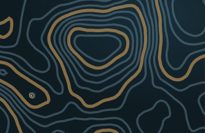
Studios
Closures are detected along mapped horizons, risked element by element and ranked by volumes and economics expressed as probability ranges.
Read the case
Studios
Drilling data is compared with the geomodel while the well is being drilled, and trajectory corrections are proposed to the drilling engineer.
Read the case
Studios
Repeated surveys are matched and compared with simulation to reveal bypassed zones and candidate infill wells.
Read the case
Pilot
We set up a secure pilot environment for you and load one of your 3D surveys together with its wells. Your own experts then judge the results against the way you work today.