01
The challenge
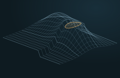
After years of production and injection, the reservoir no longer looks like the model built at the start. Unswept zones hide between wells, and injected water may not be going where it was planned.
02
How GeoDeep handles it
- 01
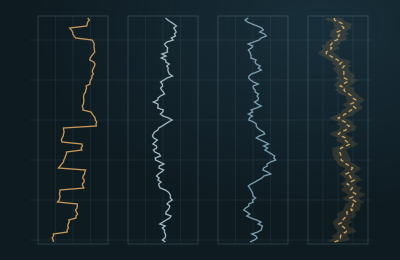
Baseline and monitor surveys are aligned and equalized in amplitude, phase and time.
- 02
Repeatability is measured, and difference and time shift volumes are computed.
- 03
4D inversion estimates changes in saturation and pressure across the reservoir.
- 04
The results are compared with the reservoir simulation to show where the model and reality disagree.
- 05
Anomalies are screened for bypassed hydrocarbons, and candidate infill wells and injection changes are proposed for review.
03
What changes
- Reservoir teams see how the field is actually draining.
- Simulation models are updated with evidence from the seismic.
- Infill and injection decisions rest on seismic, production and model data combined.