AI agents
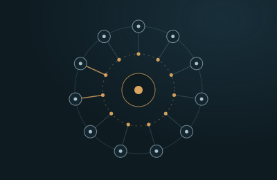
An agent team prepares a new delivery for processing
The Data Steward, Seismic QC and Report agents work in sequence and hand a finished QC package to a person for approval.
Read the caseGeoDeep AI agents
GeoDeep agents plan tasks, call validated platform tools, explain their results and hand every decision to the right expert. They never compute geophysics by guesswork, and they never act beyond the rights you give them.
How they behave
Agents use tested GeoDeep engines for every calculation. The language model plans and explains, and the engines do the computing.
Before any action, the agent checks your role, your project rights and your data access.
Nothing is published, overwritten or sent to the field without an expert’s approval.
Every prompt, plan, tool call and result is written to an immutable audit log.
The agents
Workflow
Request
A user asks in plain language.
Plan
The agent breaks the task into steps.
Permission check
Rights to data and tools are verified.
Tool call
Validated GeoDeep engines do the computing.
Validation
Results are checked against rules and ranges.
Confidence
Uncertainty is measured and shown.
Expert approval
An expert accepts, edits or rejects.
Audit
Every step is logged for good.
An example task
Check the new offshore survey for header problems and prepare a QC summary for the processing team.
Data Steward Agent
Registers the delivery and confirms the checksums.
Seismic QC Agent
Parses the headers and finds a coordinate scalar mismatch and a group of missing traces along one line.
Seismic QC Agent
Checks amplitude and spectrum statistics and marks noisy zones together with its confidence.
Report Agent
Drafts the QC summary. Every finding links to the traces it refers to.
Data steward
The data steward reviews the summary, approves it and sends it to the processing team.
Multilingual and grounded in sources
The language models behind the agents run in the GeoDeep data center and exchange data with your environment over an encrypted channel, within the permissions you set. The agents understand questions in Azerbaijani, English and Russian, and answer with references to sources in your own knowledge base.
Knowledge graph
The GeoDeep knowledge graph links basins, fields, reservoirs, wells, logs, surveys, interpretations, models, reports, experts and decisions, so agents find the context behind every answer.
Cases
AI agents
The Data Steward, Seismic QC and Report agents work in sequence and hand a finished QC package to a person for approval.
Read the case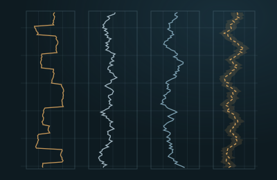
AI agents
The Drilling Agent watches live drilling data for signs of trouble and explains every warning to the drilling engineer.
Read the case
Pilot
We set up a secure pilot environment for you and load one of your 3D surveys together with its wells. Your own experts then judge the results against the way you work today.