01
The challenge
Thin reservoirs leave little room for error. When the bit drifts out of the target zone, every meter drilled outside it is production lost.
02
How GeoDeep handles it
- 01
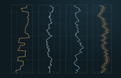
MWD and LWD data stream into GeoDeep through WITSML: gamma ray, resistivity, inclination and azimuth.
- 02
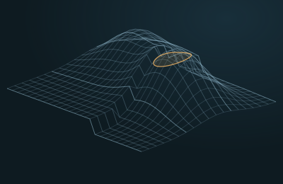
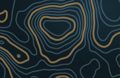
The measurements are compared continuously with formation tops, seismic and the geological model around the planned trajectory.
- 03
A prediction of the formation ahead of the bit estimates where the target boundaries lie.
- 04
When the well approaches the edge of the target window, the Drilling Agent proposes a trajectory correction with its reasoning and confidence.
- 05
The drilling engineer accepts, adjusts or rejects the proposal. GeoDeep never changes rig parameters on its own.
03
What changes
- Steering decisions draw on the live well and the full geomodel together.
- Every recommendation shows why it was made and how confident the system is.
- The final call always stays with the drilling engineer.