AI
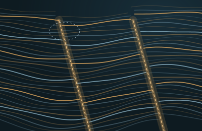
AI drafts the faults, the geophysicist finishes them
A fault model covers the whole volume, highlights where it is unsure and learns from every correction the expert makes.
Read the caseGeoDeep AI
GeoDeep AI brings interpretation, inversion and forecasting models that know their limits. Every result arrives with a confidence measure, a model version and a clear label that sets it apart from human work.
Models for faults, horizons, salt bodies, facies and many more objects.
Learns general patterns from large volumes of unlabeled seismic data.
Sends experts only the regions where the model is least certain.
Experts label data in 2D and 3D, and disagreements are kept rather than lost.
Generates realistic synthetic seismic and geological training data.
Finds similar geological structures and seismic patterns across your data.
Versions, approvals and model cards for every model in production.
Specialist agents for data, QC, interpretation, reservoir, drilling and production.
Compares alternative scenarios and documents the reasoning behind a decision.
Models
Foundation model
GeoDeep pretrains a shared 3D encoder on large volumes of unlabeled seismic data, then adapts it to each task and field with a small number of expert labels. Splits by survey and tests that hold out one survey at a time show how a model behaves on data it has never seen.
Active learning
The model analyzes the full volume.
It finds regions with low confidence and high information value.
The expert corrects only those regions.
Corrections are stored as training labels.
The model is retrained and compared in a blind test.
It reaches production only after approval.
Confidence
Model governance
Define the problem and acceptance metrics
Freeze the dataset version
Check label quality
Split the data by survey
Train a baseline
Run a blind test
Expert assessment
Publish a model card
Register as a candidate
Approve for production
Monitor drift and performance
Retrain with new data
Every model card records
Evaluation
High accuracy alone does not make a model ready. GeoDeep also measures geological continuity, boundary quality, generalization to new surveys and how often experts accept the result.
| Task | Key metrics |
|---|---|
| Fault segmentation | Dice, IoU, precision, recall, fault continuity |
| Horizon extraction | MAE in samples or milliseconds, gap rate, topological consistency |
| Salt segmentation | Dice, boundary F1, Hausdorff distance |
| Facies classification | Macro F1, recall per class, confusion matrix |
| Denoising | SNR, SSIM, frequency preservation, interpreter review |
| Inversion | RMSE, correlation, well holdout, residual |
| Velocity model | Model error, image focusing, well tie |
| Production forecast | MAE, MAPE, interval coverage, backtest |
| Risk prediction | Recall, false alarm rate, lead time |
| Uncertainty | Calibration error, coverage, detection of unfamiliar data |
Cases
AI
A fault model covers the whole volume, highlights where it is unsure and learns from every correction the expert makes.
Read the case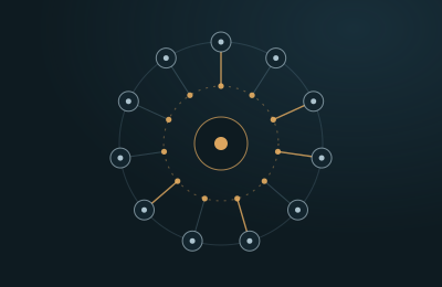
AI
The seismic foundation model is adapted to a new basin with a small set of expert labels, then tested on surveys it has never seen.
Read the case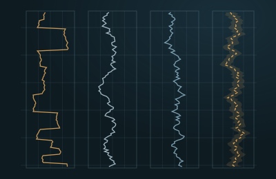
AI
Gaps in sonic and density logs are filled with AI predictions that carry uncertainty bands and a clear predicted status.
Read the case
Pilot
We set up a secure pilot environment for you and load one of your 3D surveys together with its wells. Your own experts then judge the results against the way you work today.