01
The challenge
Reports are usually snapshots. Once the data behind them changes, nobody can tell which figures are still valid and which slides need to be redone.
02
How GeoDeep handles it
- 01
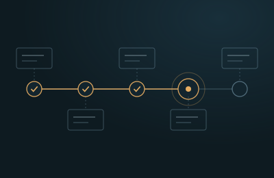
The Report Agent builds an interpretation report from approved results. Every chart and number links to its source object and version.
- 02
A month later, one of the well markers is revised and the depth conversion is run again.
- 03
GeoDeep follows the change through the lineage graph and finds every report that used the affected objects.
- 04
Those reports are marked out of date, and the exact figures affected are highlighted.
- 05
The report owner regenerates it with the new data in a single step, and the previous version is kept on record.
03
What changes
- Nobody presents numbers that the data no longer supports.
- Updating a report no longer means rebuilding it from scratch.
- Every version of every report remains available.